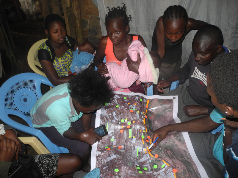
Dissemination of findings with key stakeholders
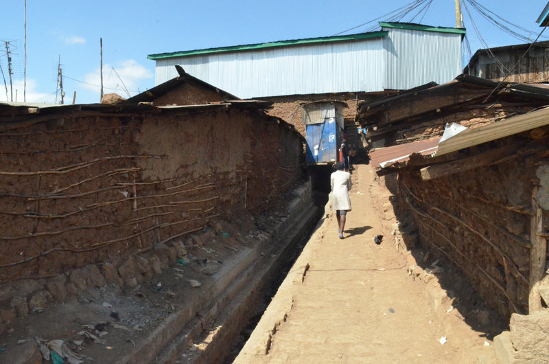
Building Urban Flood Resilience: Integrating Community Perspectives
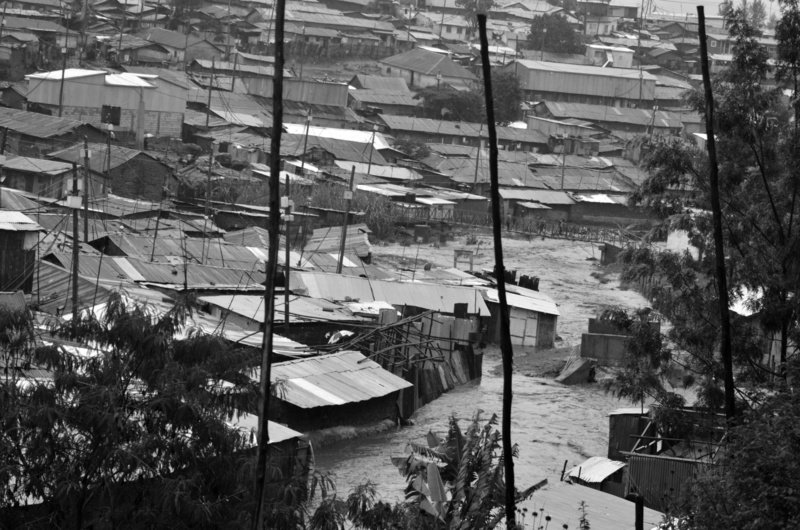
Flood protections being installed as part of the research
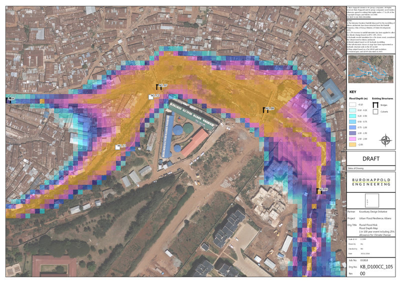
A map of household responses about flooding
Dissemination of findings with key stakeholders
Building Urban Flood Resilience: Integrating Community Perspectives