KDI partnered with Spatial Collective and Nairobi City Water and Sewerage Company (NCWSC) to pilot WATSAN Portal: Kibera, an innovative online mapping and decision-making tool that was designed to enable community groups, NGOs and government agencies to rapidly and efficiently launch high-quality water and sanitation projects in Kibera.
Context
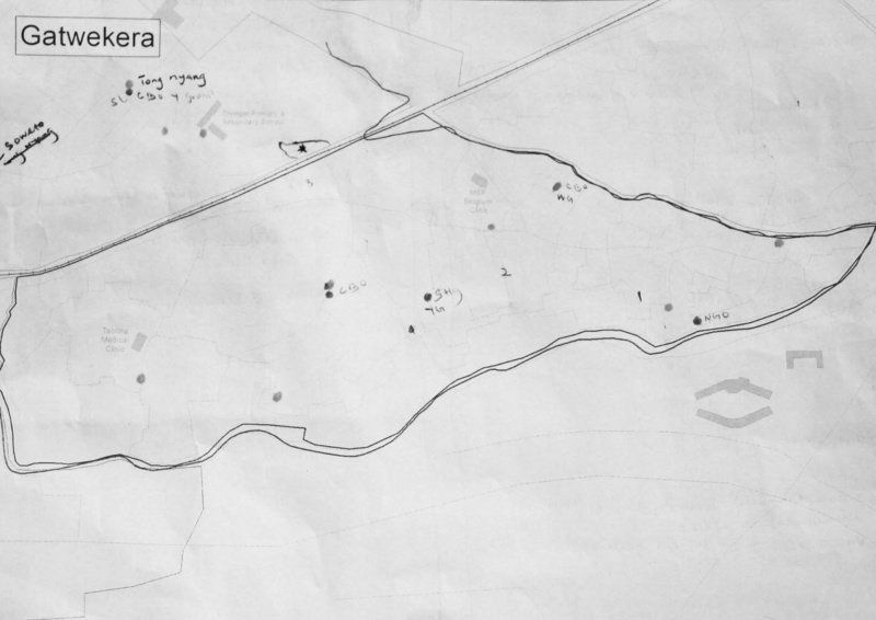
Existing WATSAN infrastructure mapped by community members
Most water in Kibera is sold via overpriced and quasi-legal kiosks, while unlined pit latrines remain the primary sanitation facility.
The resulting conditions constitute a public health and environmental risk. Unfortunately, limited municipal water and sewerage infrastructure, and unclear land ownership, hinder the implementation of much-needed water and sanitation projects.
Process
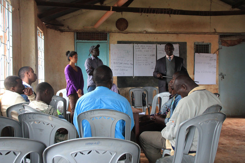
Community meeting to gather input
KDI consulted with NCWSC, community groups and nonprofit organizations to gather information on existing water and sewerage infrastructure and viable sanitation alternatives.
Over 51 individuals from 33 organizations participated in consultations and formal group workshops. This information was then collated in an interactive webtool covering two Kibera villages.
Solution
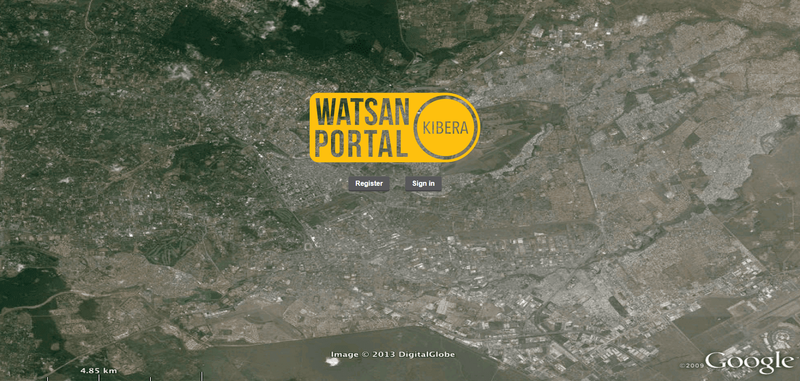
WATSAN Portal landing page
The webtool consists of an interactive map that enables users to locate existing municipal water and sewerage infrastructure.
It also enables users to find out the requirements and processes for connecting to these services - such as title deeds and site sketches - and identify safe, decentralized alternatives if no connections are available.
Impact
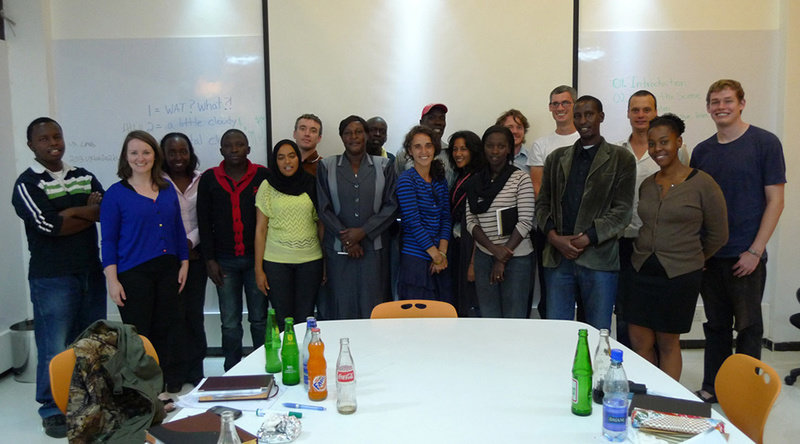
KDI and WATSAN Portal partners after presenting the webtool to key stakeholders
The portal enables a range of users to more easily plan and implement water and sanitation projects in two villages in Kibera.
As a pilot project, the WATSAN Portal highlighted the benefits and possibilities offered by GIS-based technologies to share information and improve access to basic services in informal settings.